You are here
Opendata
High Resolution Sea Surface Salinity
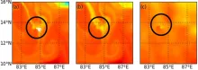
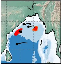
The Bay of Bengal's high-resolution sea surface salinity has been reconstructed using a Lagrangian technique leveraging satellite data.
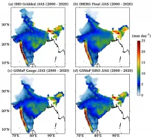
GSMap ISRO Rain
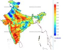
The GSMaP_ISRO is a precipitation product that was developed through the Indian Space Research Organisation (ISRO) - Japan Aerospace Exploration Agency (JAXA) Impleme
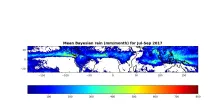
Bayesian based MT-SAPHIR rainfall
Megha- Tropiques (MT) is a joint Indo-French collaborative satellite mission, which is launched on 12 October 2011.
METEOSAT8 Cloud Properties
NASA LaRC is operationally generating global cloud properties products using different geostationary satellites.
Ocean Subsurface
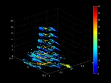
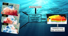
Satellite data has been used to reconstruct ocean interior density and velocity anomalies in the Bay of Bengal through the “interior + surface Quasigeostrophic” (isQG) method.